Photography by Andy Goodson and Sean Hootz
In late April, Sean and I decided to check out a we’ve passed by on numerous occasions when travelling along the east edge of the Porcupine Hills: the Bell River Canyon, just a few minutes south of Steeprock River in Manitoba. Sean had mapped out an access point up a logging road where we planned to hike seven kilometres up an elevation change of 381 metres. Bell River Canyon was a conspicuous feature on the topographic map, but it wasn’t until finding the Swan River Valley’s trail blurb online that we realized road access could make reaching the upper Bell River less daunting.
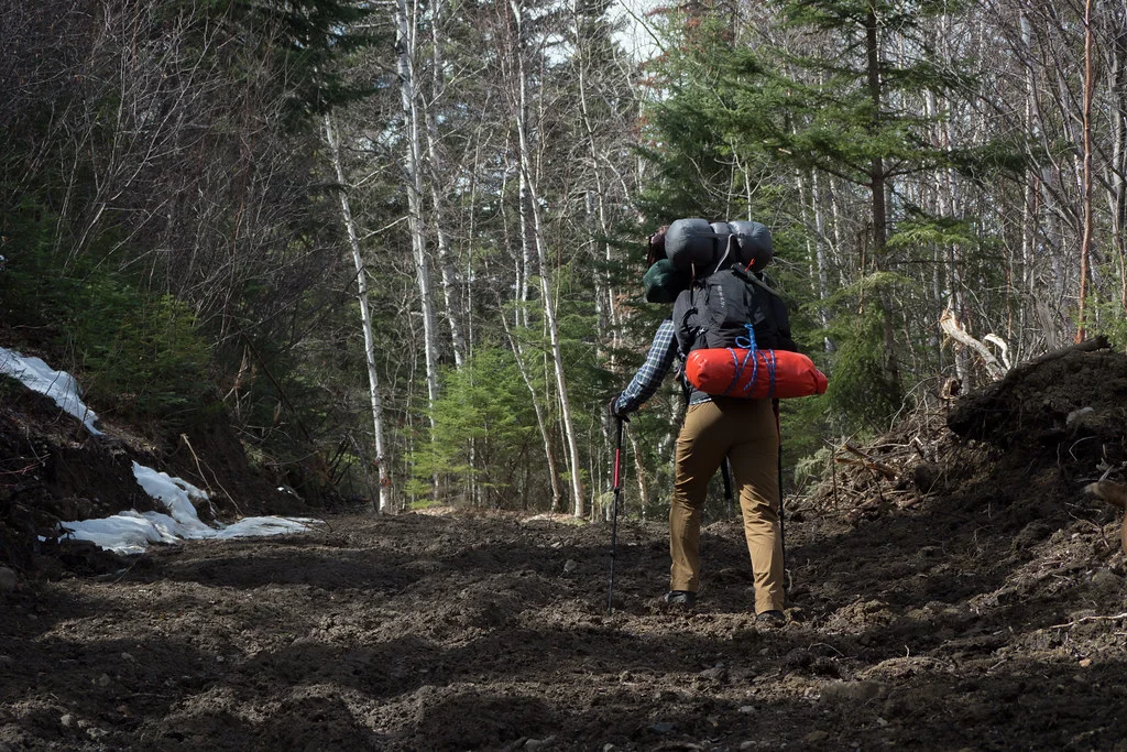
On the morning of the trip, Sean was unusually confident in his trip plans and I was doing my best not to second-guess it. Everyone except me had backed out on the trip for one reason or another and, privately, I was banking on the strength of numbers as a safety net. I couldn’t remember what I packed, praying I had the foresight to bring a wool undershirt more than cup-a-soup for food.
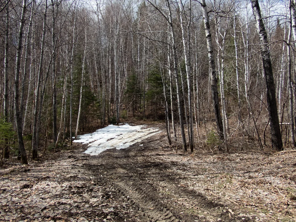
Because some of the hiking trails mapped were actually logging roads, we crossed our fingers that our vehicle would take us further than anticipated. I couldn’t remember what seven kilometres uphill with a backpack felt like and was more eager to sight-see than to embark on an endurance challenge. Lucky for us, we were able to shorten the hiking distance to a meager three kilometres, which felt like cheating I’ll admit, but hiking up a logging road wasn’t the main attraction and it was easy to let that go.
Rutted road to the Bell River where we began our hike (Hootz)
We left the vehicle just before noon and began the hike uphill against a cold breeze. Despite most of the snow and ponds being thawed, Arctic air was laying clammy hands all over Saskatchewan and Manitoba on-and-off for weeks. This was great for the oft sweaty backpacking, but knowing we’d be seeing night-time temperatures around -10 C meant the trip’s comfort level was a bit of a toss-up.
I thought back to my frantic packing the night before the trip, wondering what singular items I probably forgot at home. What reassured me not to worry was that my backpack felt overstuffed and weighty, like giving a piggy back ride to a kid who’s much too old for piggy back rides.
We’d barely climbed a half-kilometre and I had already stopped to urinate twice, which is a family curse apparently.
‘Have you worn that backpack before?’ Sean asked. I had not, I said between breaths. ‘You gotta tighten it up around the shoulders and waist. Otherwise it’s hanging off your back and you’re not carrying the weight in your hips.’ I took his advice and prevented five years of non-localized mystery pain in my forties.
Thawed pond (Hootz)
Muddy hike uphill (Goodson)
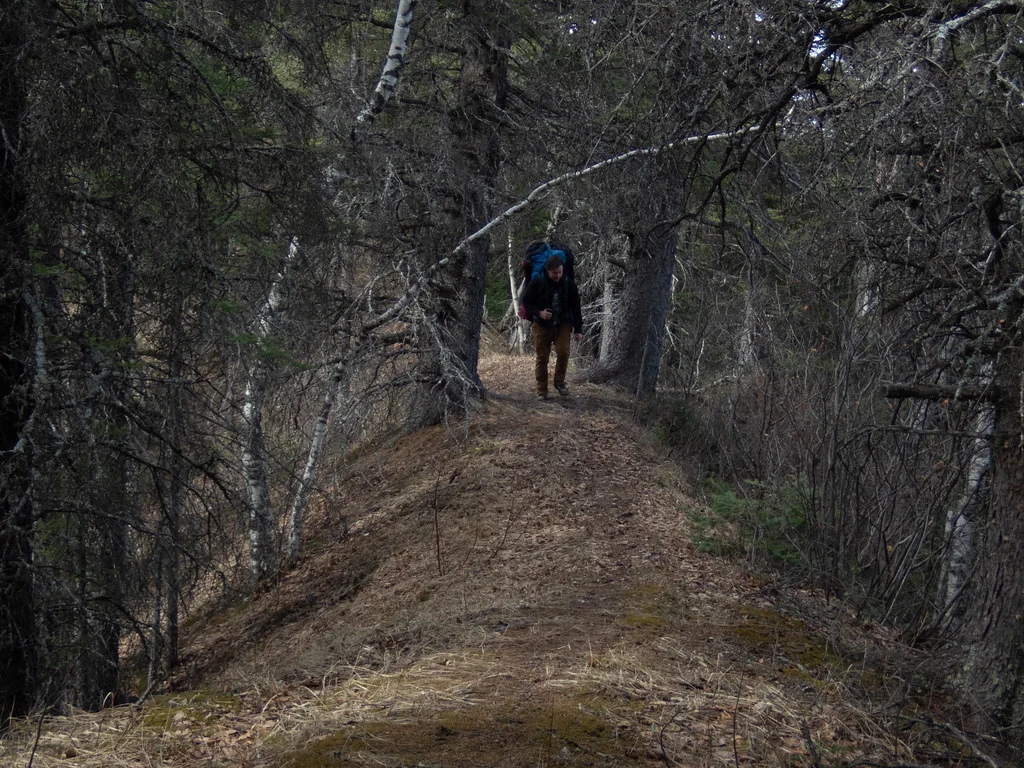
Thinking we had it on easy street after driving up more than half the original distance, I was caught off guard by the exhausting uphill march, even with properly fastened gear. Some road sections were so waterlogged we would slide back downhill or sink ankle deep. By the time we approached what appeared to be the last peak, we had no doubt the shortcut was the right choice.
Sean checked the GPS to confirm we were in the right spot. According to the trail the map, we were reaching the extent of the road on the plateau at the northeast ridge of the river canyon. We would need to start looking for potential trails or passageways to the river soon.
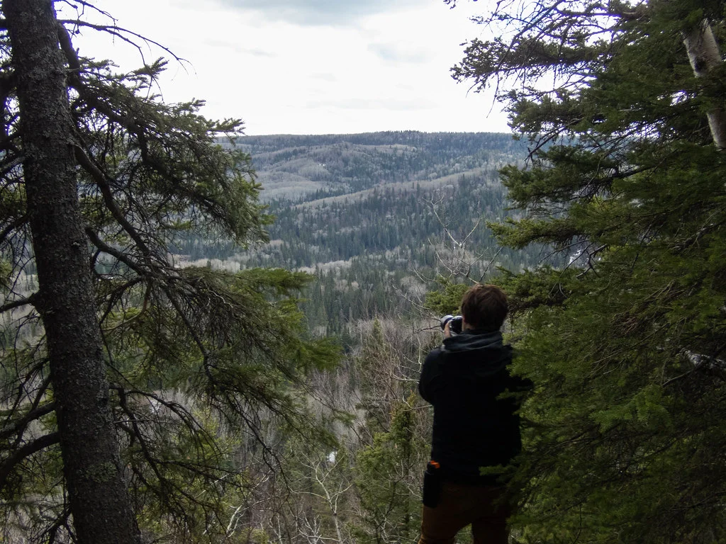
But first, there was a spot that was too curious to pass up. We hiked a trail leading over a narrow ridge with the Bell River valley on one side and the Manitoba lowlands on the other, leading to a lookout point unfortunately named Gobbler’s Knob.
I regretted bringing my weighty backpack on this kilometre-long side quest.
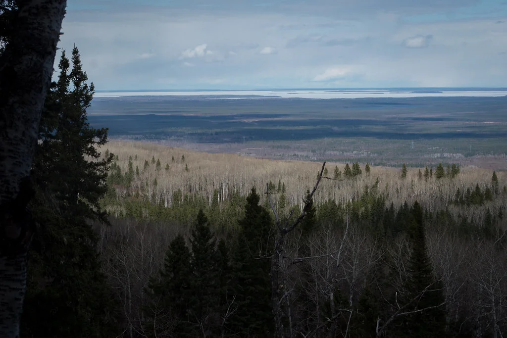
Vantage point of the Manitoba lowlands from the northeast ridge of the Bell River Canyon (Goodson)
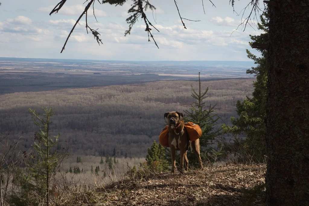
J.P. at the ol’ Gobbler’s Knob (Goodson)
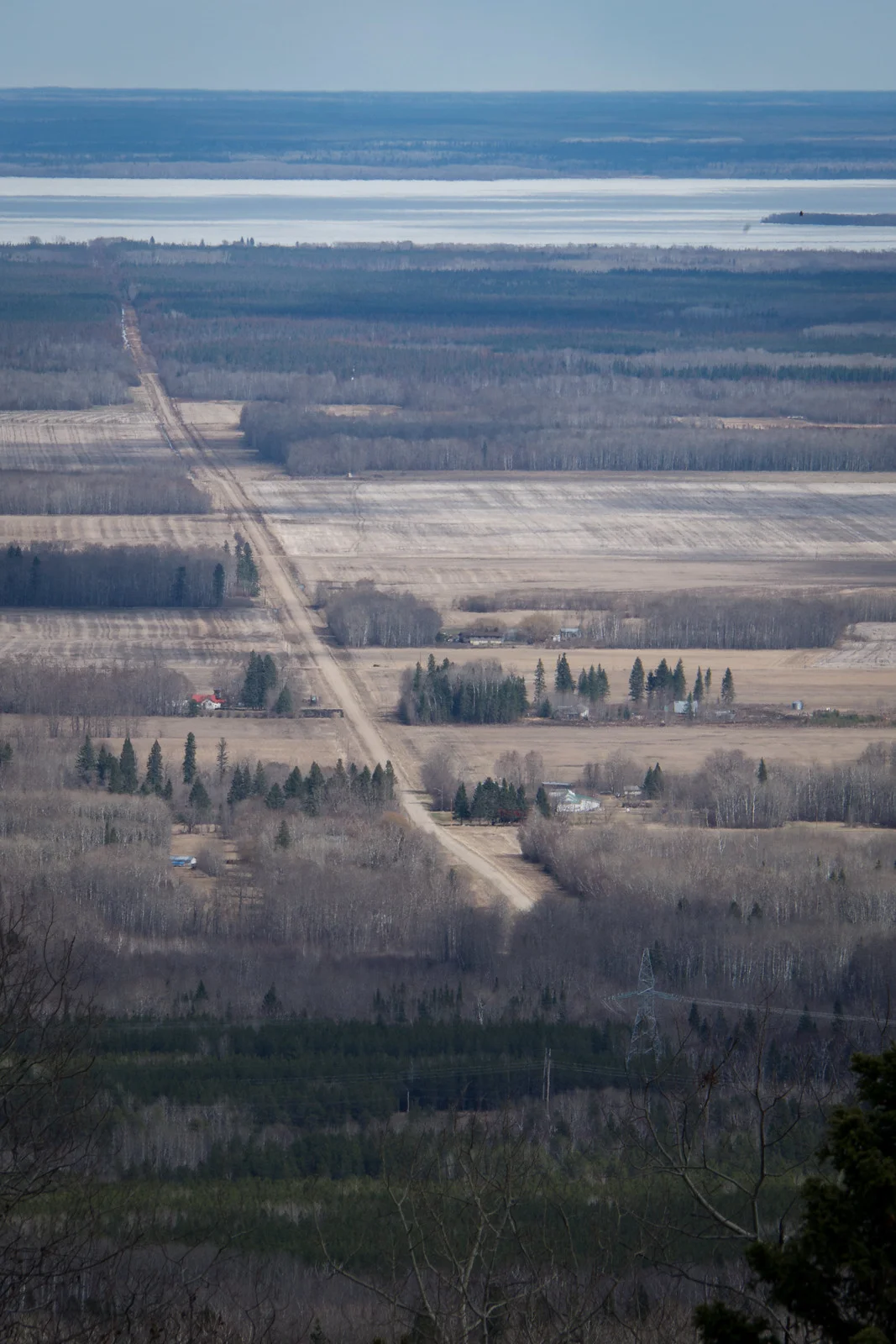
Bellsite and road leading to Swan Lake, photographed from the northeast ridge of Bell River Canyon (Goodson)
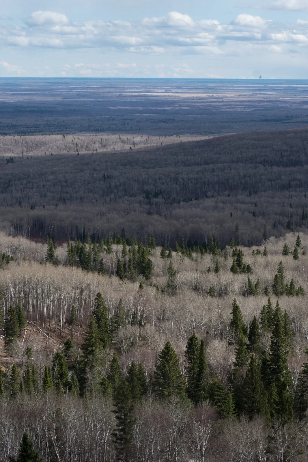
An expansive view of the Bell River valley leading down to the Manitoba Lowlands. The Duck Mountains’ shadow can be seen 70 km away. (Goodson)
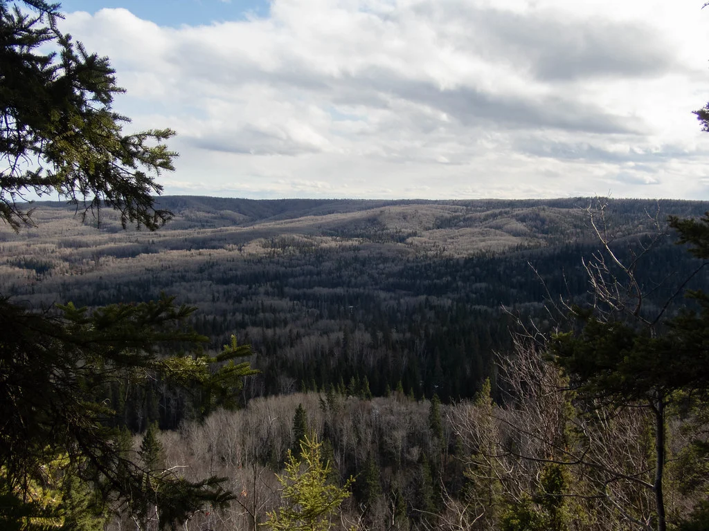
View of the opposite end of the Bell River Canyon (Hootz)
While the lookout point was indeed beautiful, it posed a problem. The ridge was far too steep to descend. To reach the Bell River, we’d have to climb back down into the valley, trudge through two kilometres of thick Manitoban bush then probably die riverside because there was no way in hell we’d get back out. We decided to look for another water source somewhere on the plateau, but remained hopeful to find a trail to the river.
Luck never found us and we wandered down the road pointlessly until finally giving up and returning down the road we came.
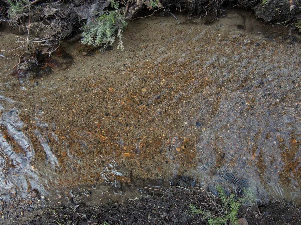
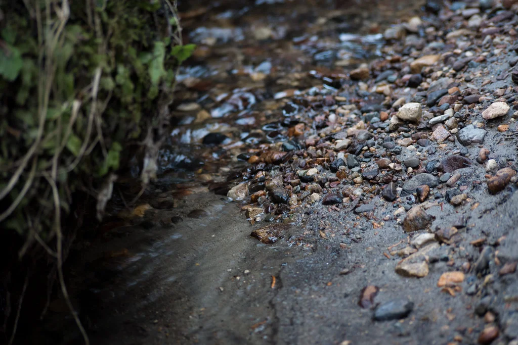
If it looks clean, it probably is right? (Hootz)
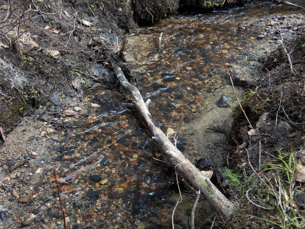
No need for a river (Hootz)
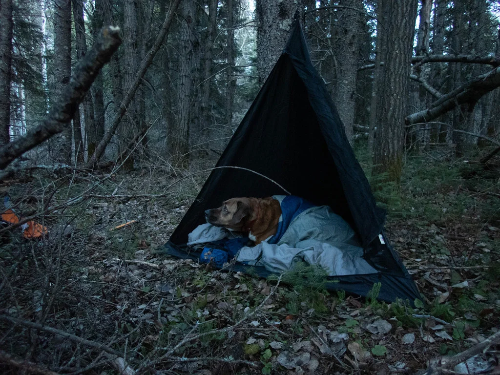
J.P.’s tent, the bear-sized Toblerone (Hootz)
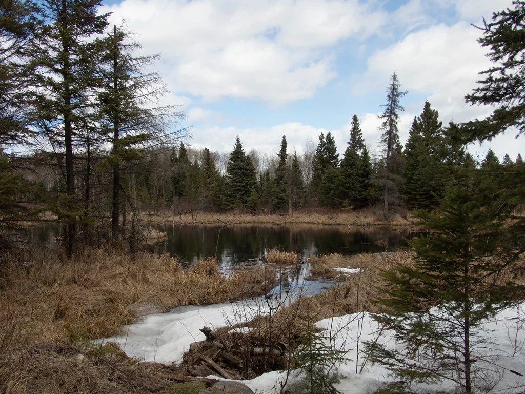
On the way back down, we crossed a small inconspicuous creek, something that would no doubt be dry by summertime, and decided a water source is a water source even if it isn’t the river we came to see. We followed the stream into the bush for a few hundred metres and made our camp for the night.
The next morning was bright, sunny and freezing cold. We spent the entire day in the vicinity of camp, opting for some relaxation which I was more than willing to take. It did not take long to get a chill when wandering around shooting some photos, but the fresh air and quietness of early spring made it more than enjoyable.
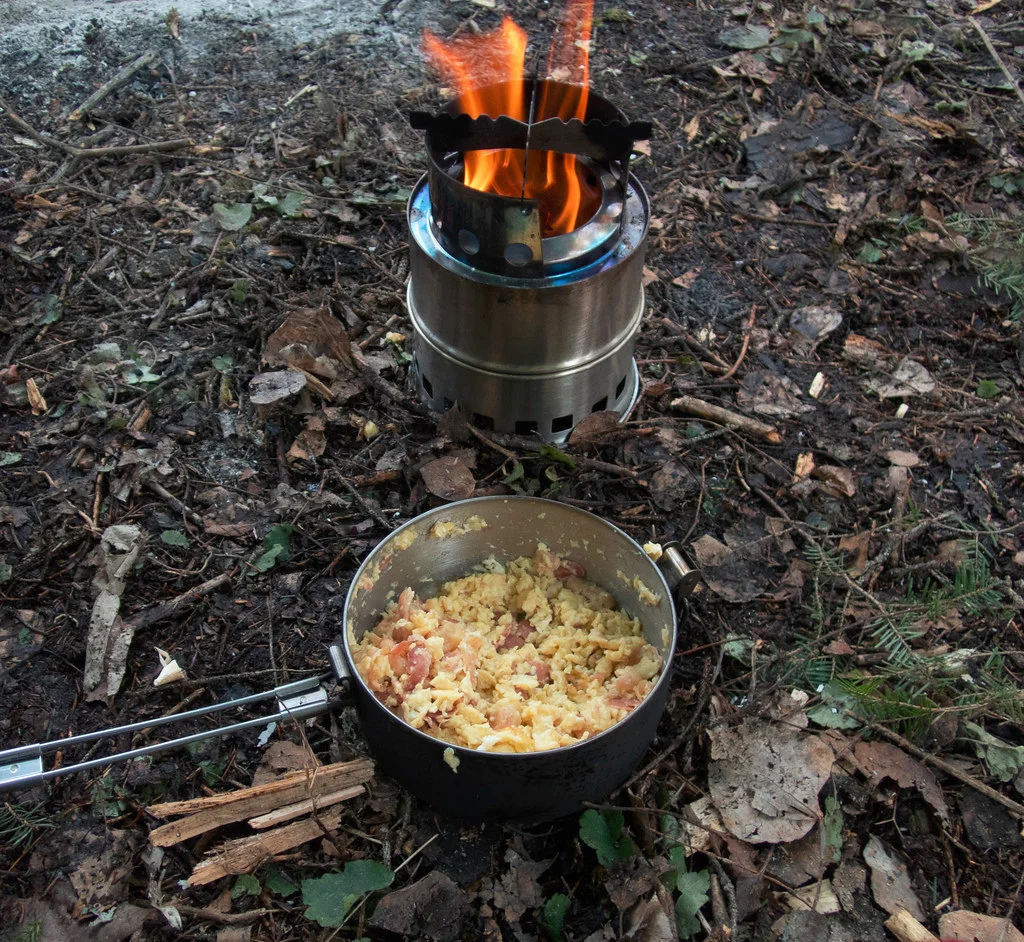
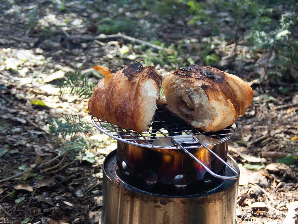
BREAKFAST STUFFS
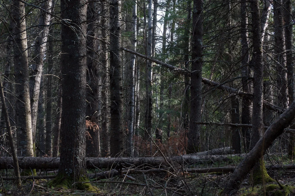
Mostly coniferous forest (Goodson)
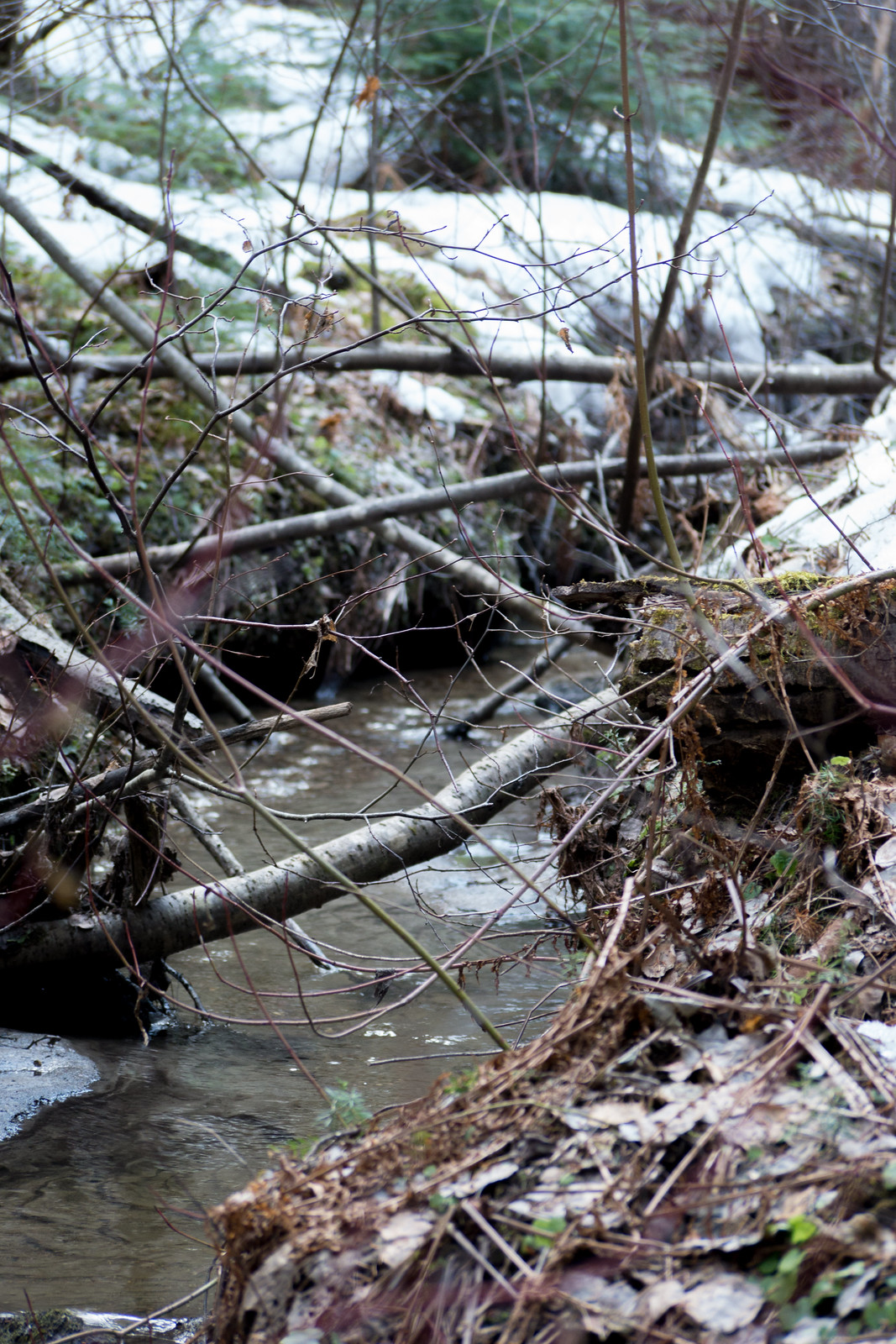
The water source, a spring runoff creek (Goodson)
Babbling brook (Goodson)
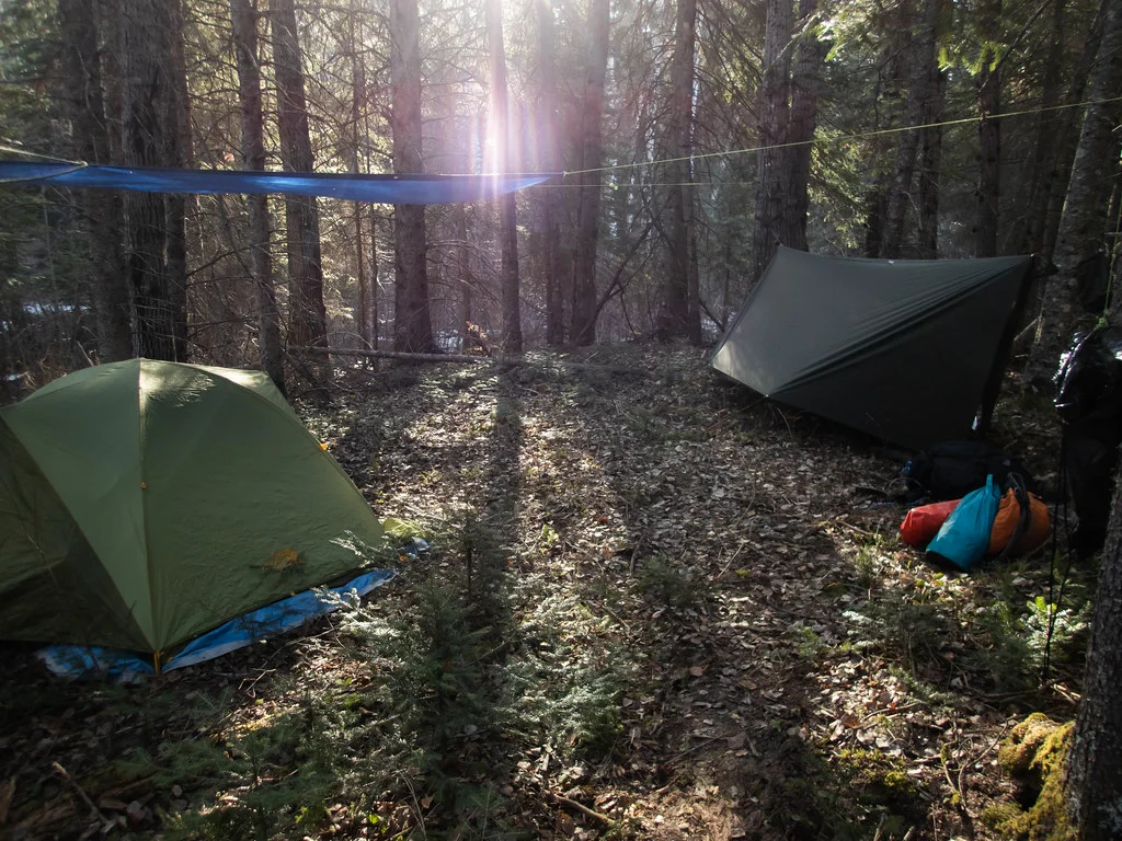
Doing our best to keep a clean campsite (Hootz)
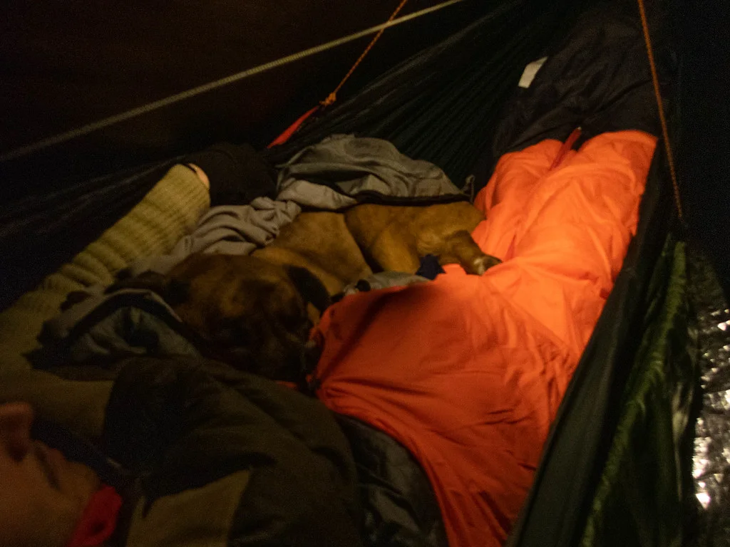
J.P., valuable heat source, man’s best friend (Hootz)
There was not much else to write about this trip. We may have been a long way from the Bell River, but for an early season adventure in subzero temperatures, there was little more to ask for than a quiet weekend camp. The lookout point at Gobbler’s Knob, however, is likely to remain the most expansive view from the Manitoba Escarpment I’ve seen. It called to mind one of our earlier stories, when we filmed a time lapse of the sunrise from the east edge of the Duck Mountains. The sunrise seen from Bell Canyon would no doubt be a sight to behold.