Explore Stories by Region
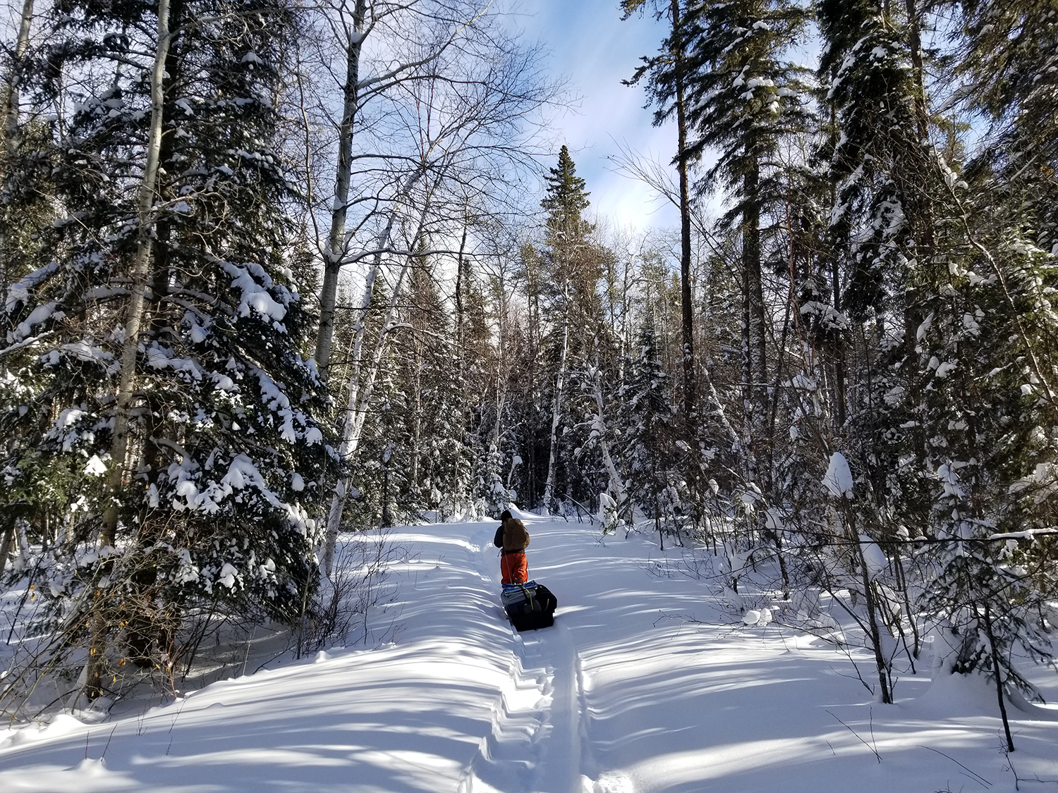
Duck Mountains
Rising up to 2,730 ft at its highest peak (Baldy Mountain), “The Ducks” are the highest point in Manitoba.
Saskatchewan and Manitoba both have parks named Duck Mountain Provincial Park, but they are managed separately. Duck Mountain is the most southern extremity of the Mid-boreal Upland ecoregion in Saskatchewan. The mixed-wood forest is a typical combination of poplar, birch and spruce, with larch and jack pine occurring in greater numbers on the Manitoba side.
Madge Lake is the largest body of water, although there are many small and deep lakes in the east. Manitoba's East Blue Lake reaches a depth of nearly 200 feet and is a known destination for freshwater scuba diving.
Angling lakes and rivers on the Manitoba side are managed by Swan Valley Sport Fishing Enhancement Inc., with some lakes in the parkland region sponsored by FLIPPR. Saskatchewan's waters are managed through local branches of the Saskatchewan Wildlife Federation and the Fort Qu'Appelle Fish Culture Station.


Pasquia Hills
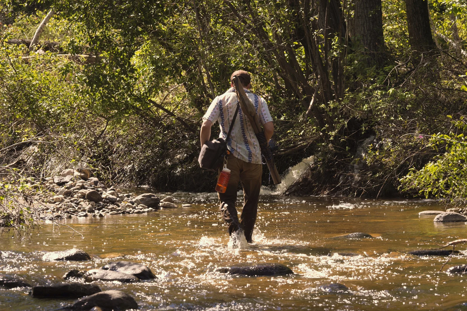
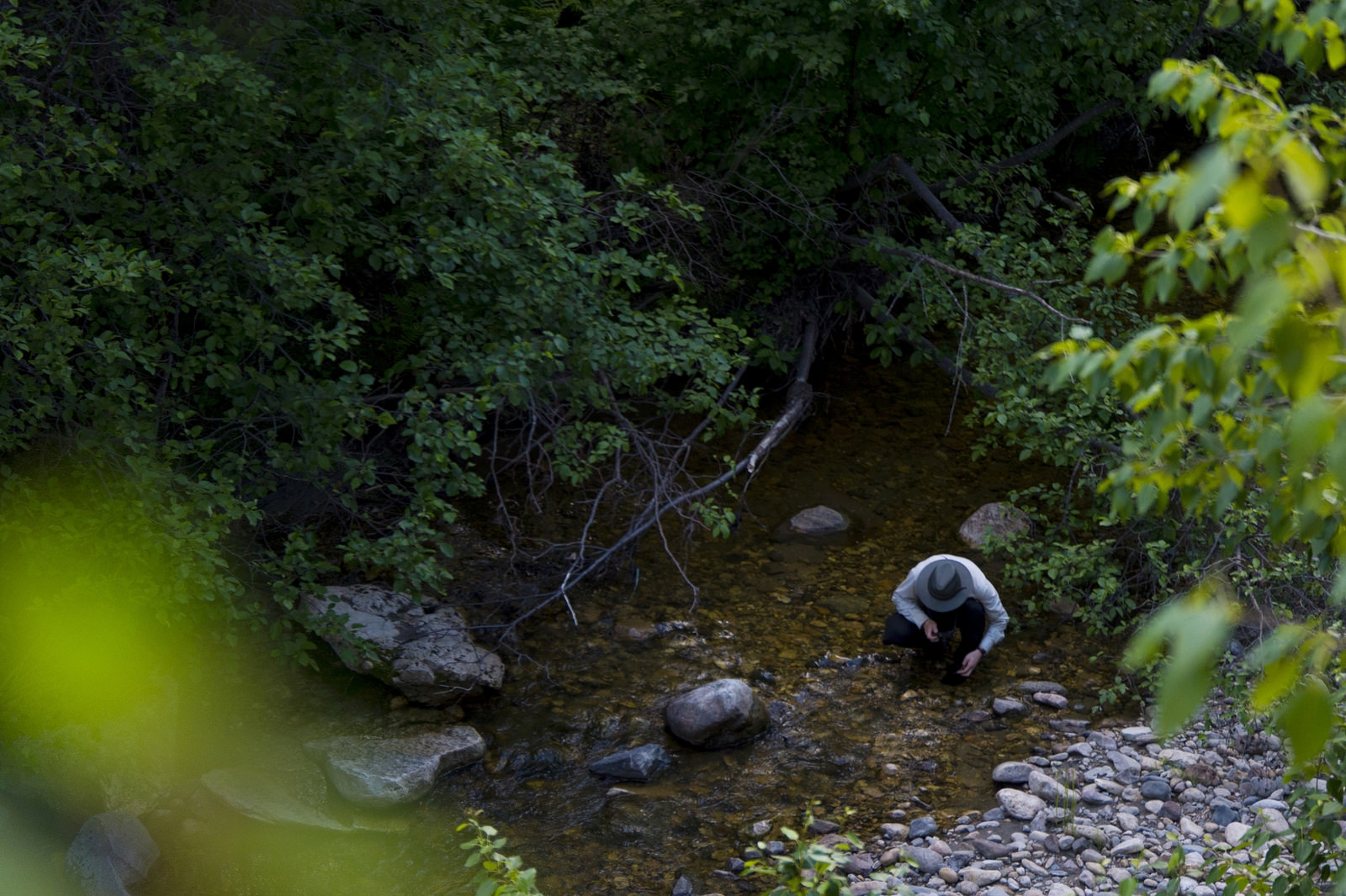
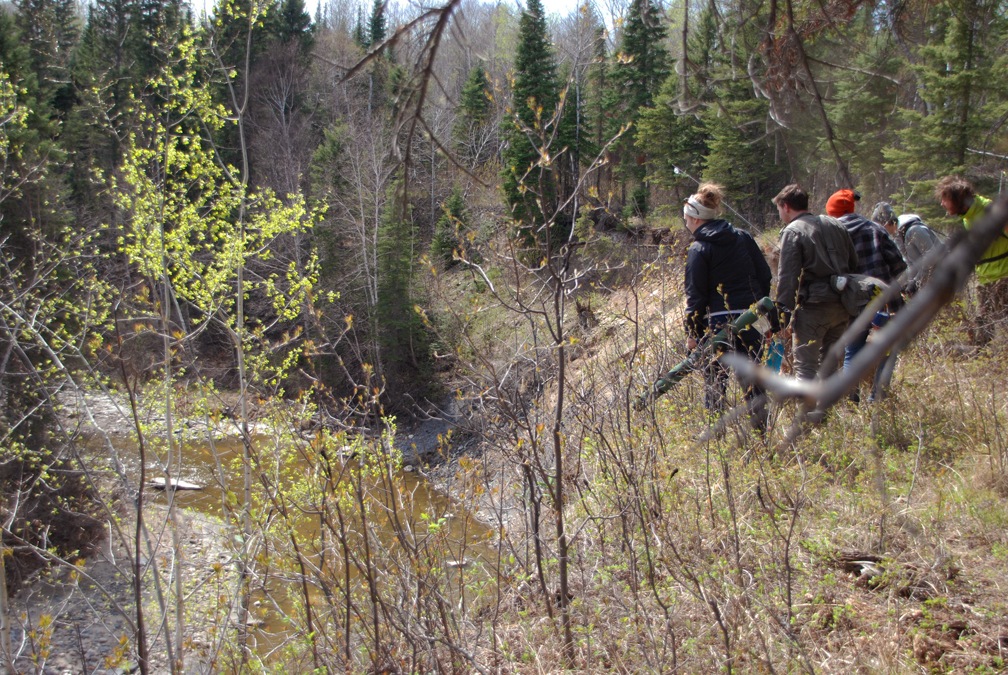
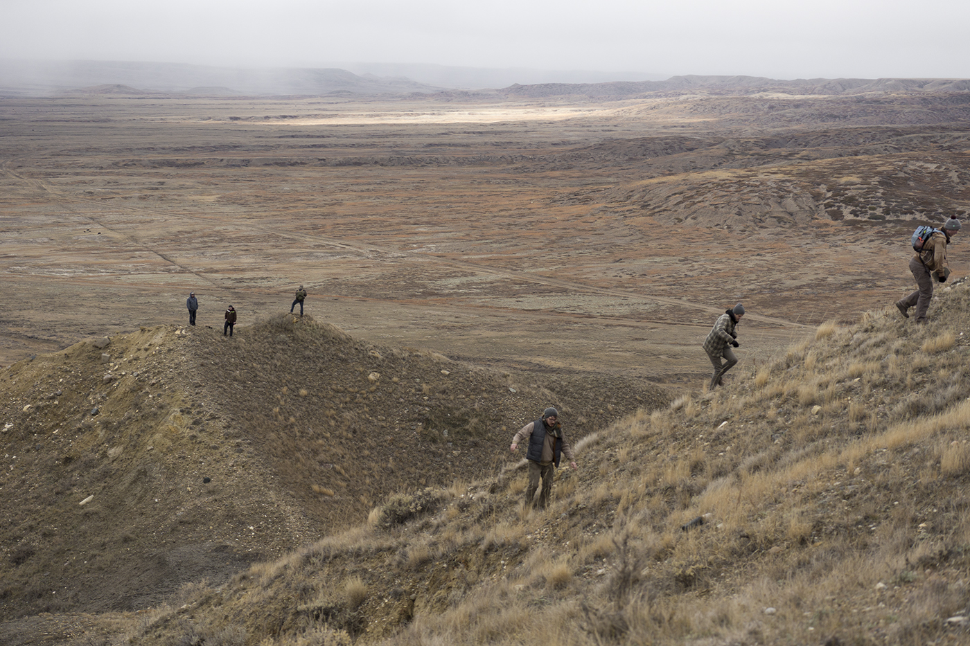
The Pasquia Hills are the highest hills in Saskatchewan relative to the surrounding lowlands. At the peak is a plateau called Wildcat Hill Provincial Wilderness Park, typically accessible by snowmobile or ATV only. There are no lakes of remarkable size in the hills, but a number of drainage basins result in an abundance of creeks and rivers flowing out from the plateau. While a fraction of the streams are currently managed for trout, there were extensive efforts to stock nearly all streams in the late 80s and early 90s. Only a few have sustained natural reproduction.
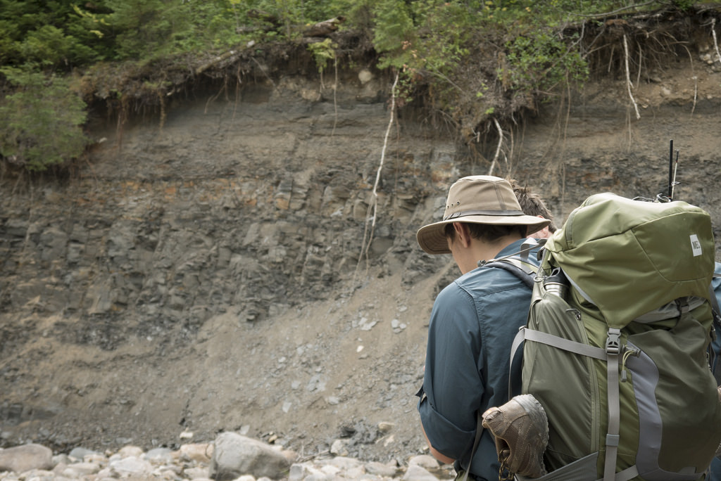
The hills have long been home to Indigenous peoples, the Swampy Cree, and the most northerly Plains Cree who still reside near the Saskatchewan River Delta today. Some of the last and latest sightings of the now extirpated plains grizzly occurred in the Pasquia Hills. Shale outcrops are common along riverbanks, notably including the Carrot River, where a 92 million-year-old prehistoric crocodile was found exposed in the cliffs.

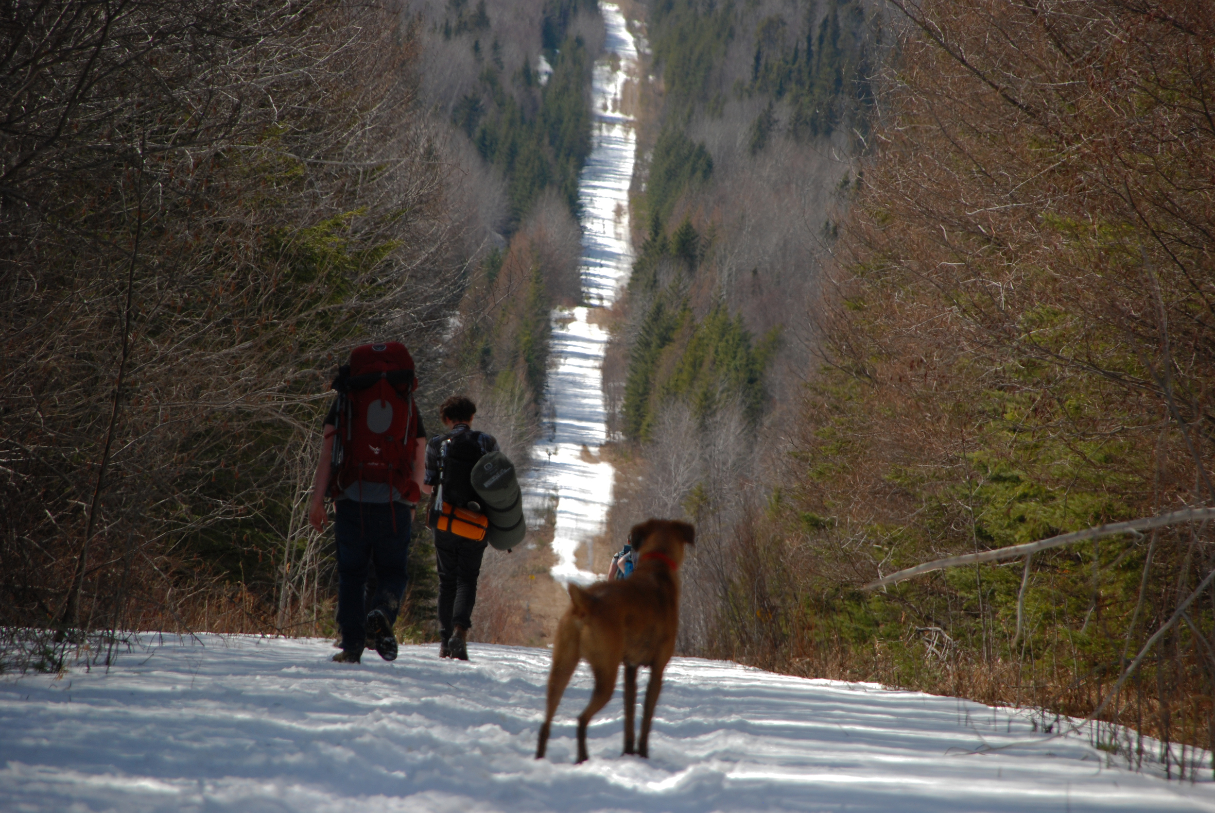
Porcupine Hills
Rising up to 2,700 ft at its highest peak (Hart Mountain), the Porcupine Hills are the second tallest feature in the Manitoba Escarpment. The hills taper off gradually from east to west, crossing the Manitoba provincial boundary and ending near Greenwater Lake Provincial Park in Saskatchewan.
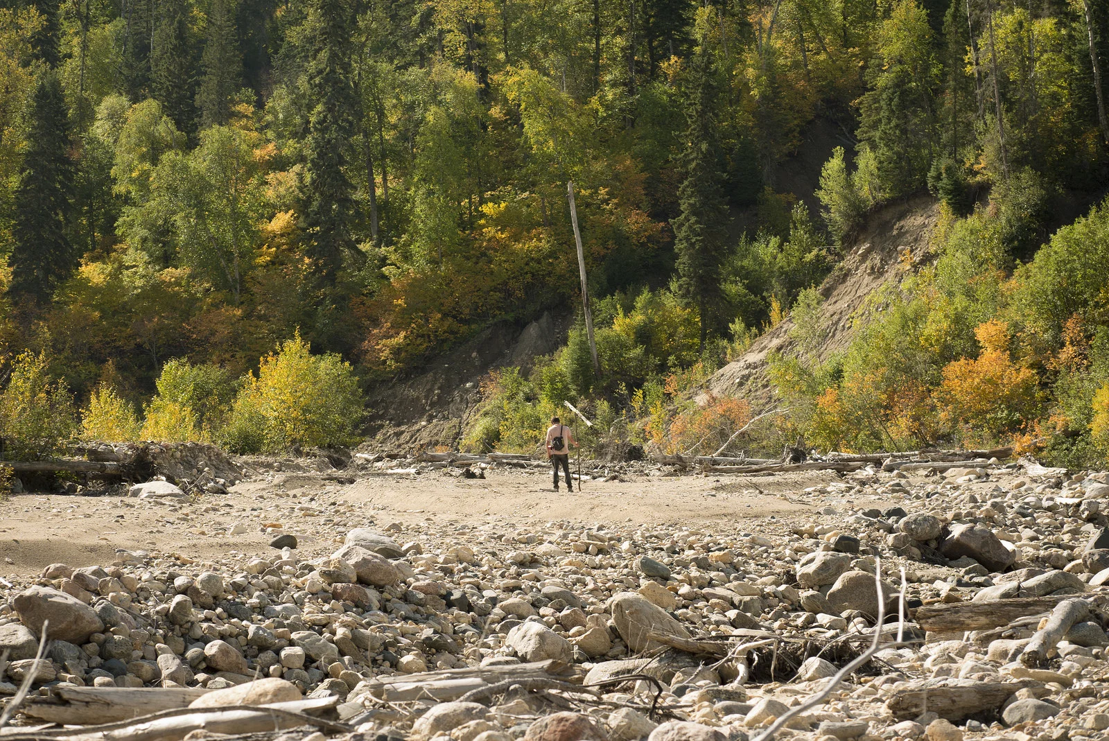
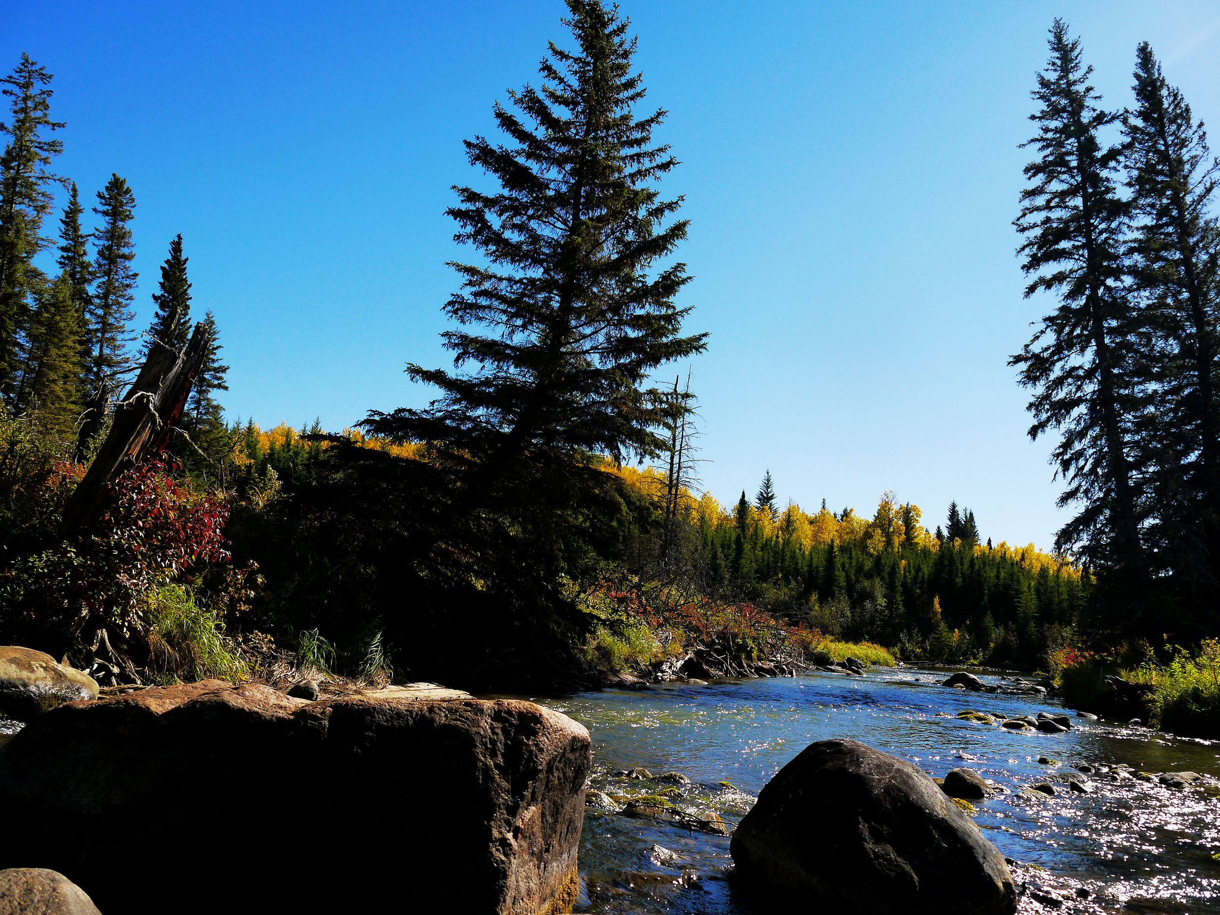
The Porcupine Hills are characterized by relatively small glacial lakes and steep river canyons on the northern and eastern fringes. The largest lake in the Porcupine Hills is Armit Lake. The hills drain into two major river valleys: Swan River in the south, and Red Deer River in the north.
The forest is classified as a Mid-boreal Uplands ecoregion. With some exceptions, the southern ridges are predominantly deciduous with tall stands of trembling aspen and balsam poplar. The number of coniferous trees increases noticeably on the northern ridges and plateaus. Much of the forest near Woody River and the Steeprock Lakes are in recovery from wildfires that occurred in the 1980s. Some rivers and streams are managed for trout, while others still produce naturalized populations from stocking efforts that occurred decades ago. Exotic species such as Arctic char, sparr and cutthroat trout have all been stocked in the Porcupine Hills at one point.


Other Regions in Saskatchewan and Manitoba
Canadian Shield
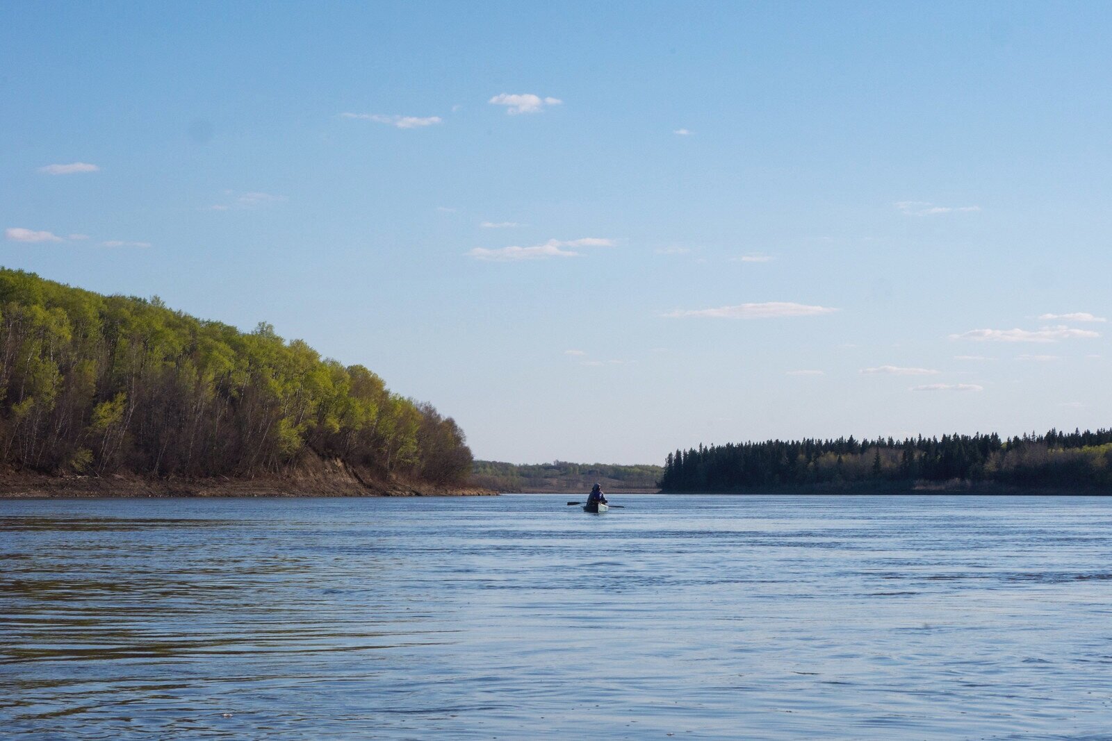
The Canadian Shield stretches from central Canada all the way to the eastern coast and is where you’ll find Precambrian bedrock, some of the oldest rocks on the planet. The poor drainage makes this region the land of lakes, with many of them interconnected to form an intricate web of canoe routes.


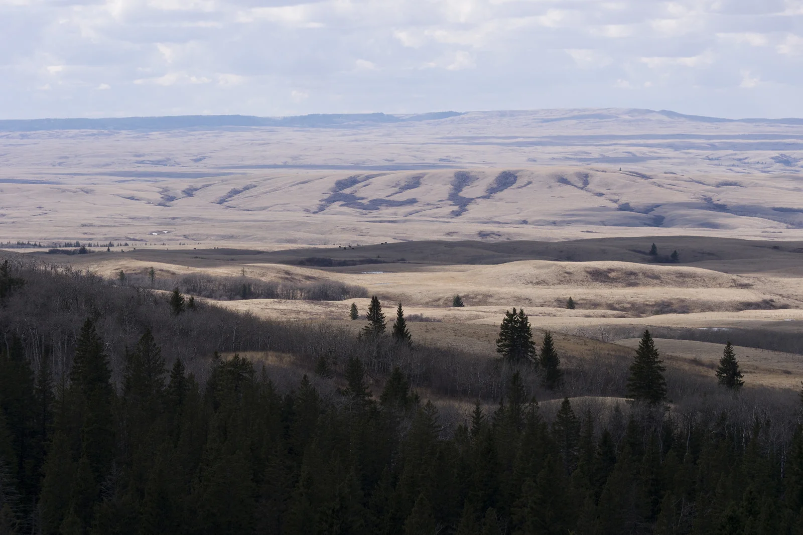
Parkland & Boreal Transition
At the forest’s edge is the aspen parkland, where you’ll find a mix of tall poplar groves and grassy meadows. This region encompasses some of the most developed areas in Saskatchewan and Manitoba, making pristine native parkland a bit of a rarity. It remains an important habitat for animals such as white-tailed deer and water fowl.
The parkland transitions to the boreal plain of Northern Saskatchewan. This is where you’ll find the most continuous provinicial forests, lakes and campgrounds, and sprawling unincorporated land — as in, plenty of space to get lost.


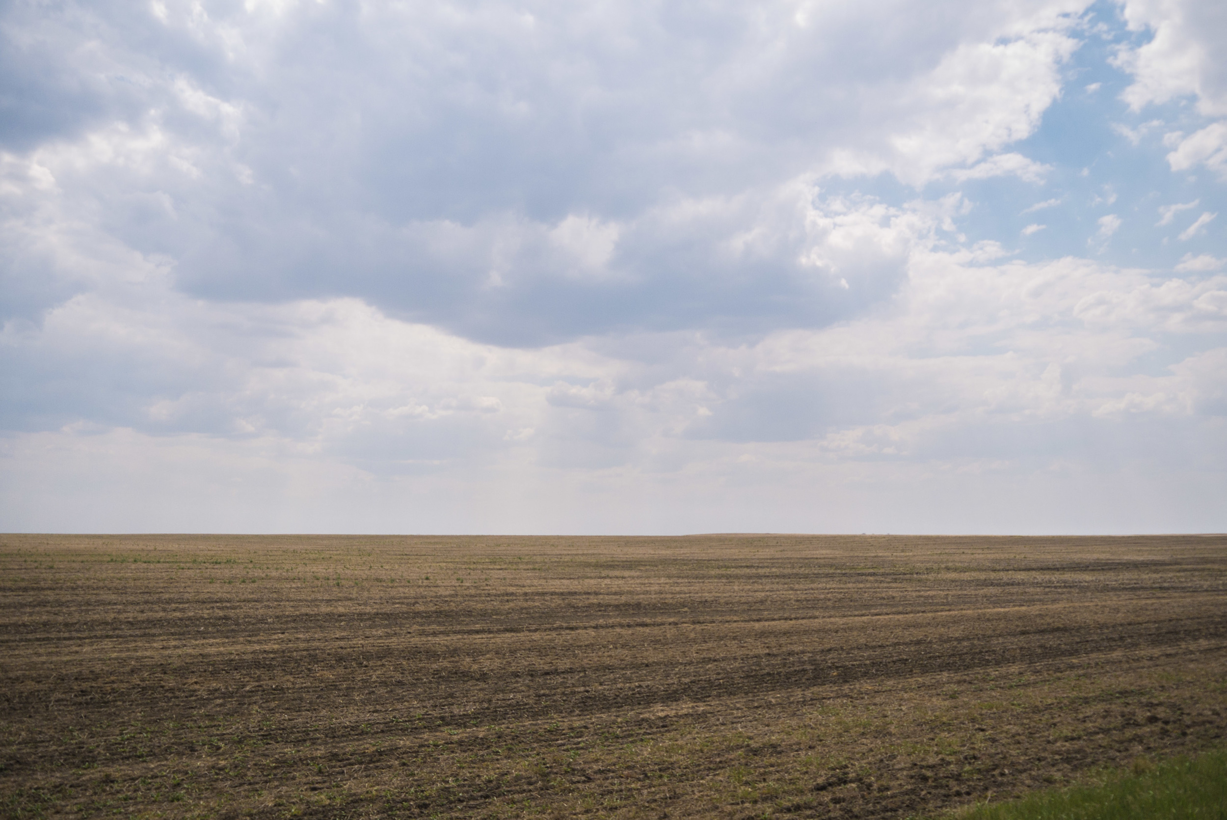
Prairies and Badlands
The land of the dry and windswept, badlands are found in the south and southwest extremities of Saskatchewan along the U.S. border. This region contains sections of protected grasslands, Canada’s most threatened and dwindling ecosystem. The highest points in Saskatchewan above sea level are found among the southwestern prairies, including Cypress Hills, an oasis of montane forest that seems conspicuously out of place among the rolling plains.

The Manitoba Escarpment:
Duck Mountains
Pasquia Hills
Porcupine Hills
Other regions:
Canadian Shield
Parkland & Boreal Transition
Prairies and Badlands
For details on official ecoregions, visit the Saskatchewan Conservation Data Centre, biodiversity.sk.ca.