Written by Mitch Doll
I’m not sure how many people see a small blemish of dirt on a map and think, “Oh yes, I must trek kilometres through the wilderness to see what that spot is all about,” but that’s exactly what we set out to do on this trip.
Our goal was further into the forest than we’ve ever gone on the Steeprock River, but we were a much smaller group and the energy of this expedition felt different.
Kendall and I set out from Regina in the early morning with no time to spare (the truth being we were 20 minutes late.) We had a three-and-a-half-hour drive to the Scuttlebuck Lodge, where we would meet Sean and make giant omelettes. Then the three of us, plus Jean-Paul – Sean’s fearless canine – would head for Steeprock River.
We got on Highway 1 and immediately encountered the most common Saskatchewan travel problem: pylons and slow signs. My anxiety grew with my impatience, so Kendall and I passed the time by singing too loud and hashing out the trip details.
She was curious about everything, but mostly how challenging the hike would actually be. I struggled to describe the actual difficulty of this terrain in light of the perilous description previously given by Sean. He had suggested we all use trekking poles to help us walk upstream through crashing water, over slippery and unforgiving rocks. This sounded safer and likely faster than the rock hopping we had foolishly done in the past. In my mind it didn’t seem like it would be too challenging or dangerous. Our packs were light — seemingly lighter than normal.
The sweaty construction worker’s sign flipped from stop to slow, and we followed the caravan onward. We warned Sean our ETA was delayed.
My mind was twisted up, daydreaming about the adventure to come, when I noticed we were driving down an unfamiliar hill. As a lake emerged in the valley view, I knew we were in the wrong province and the right turn was about 25 kilometres back. An aggressive U-turn, and we were back on track until we hit another construction site.
We finally got to the cabin, and on with the trip. We discussed the proper-versus-favoured way to pronounce Mafeking as we rode down the final stretch of degraded gravel road before the trailhead.
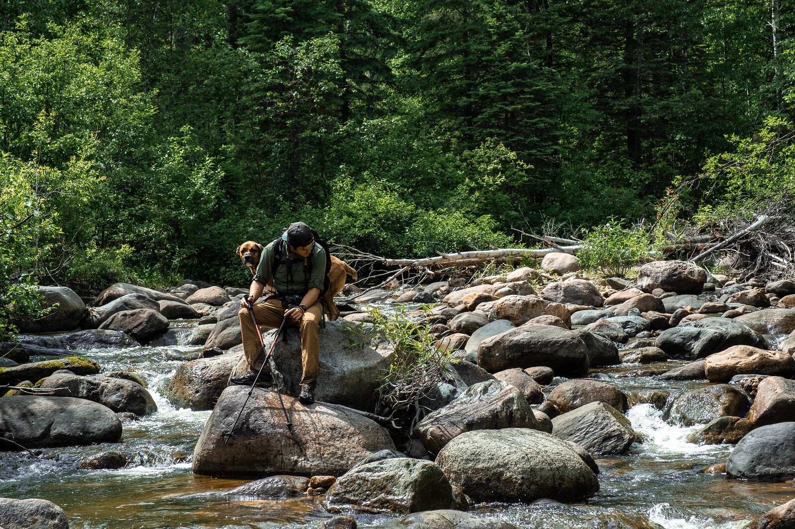
Sean set the pace, as Kendall and I followed him and JP through the wild bush. The trail wasn’t pronounced, it was essentially a wily game trail with a bit of extra space left by local anglers.
Sean settled into the guide role well. Every so often he would hold up, peering through the trees before setting off with intention in a slightly new direction. It reminded me of the long shot through the Copacabana in GoodFellas: Sean was like Henry Hill smoothly traversing the forest, like a regular who knew everyone and everything—the trees, moss, stones, twigs, anybody who was anybody in this neck of the woods. Unlike Scorsese's camera work, Sean made a logical route through the bush and we made great time.
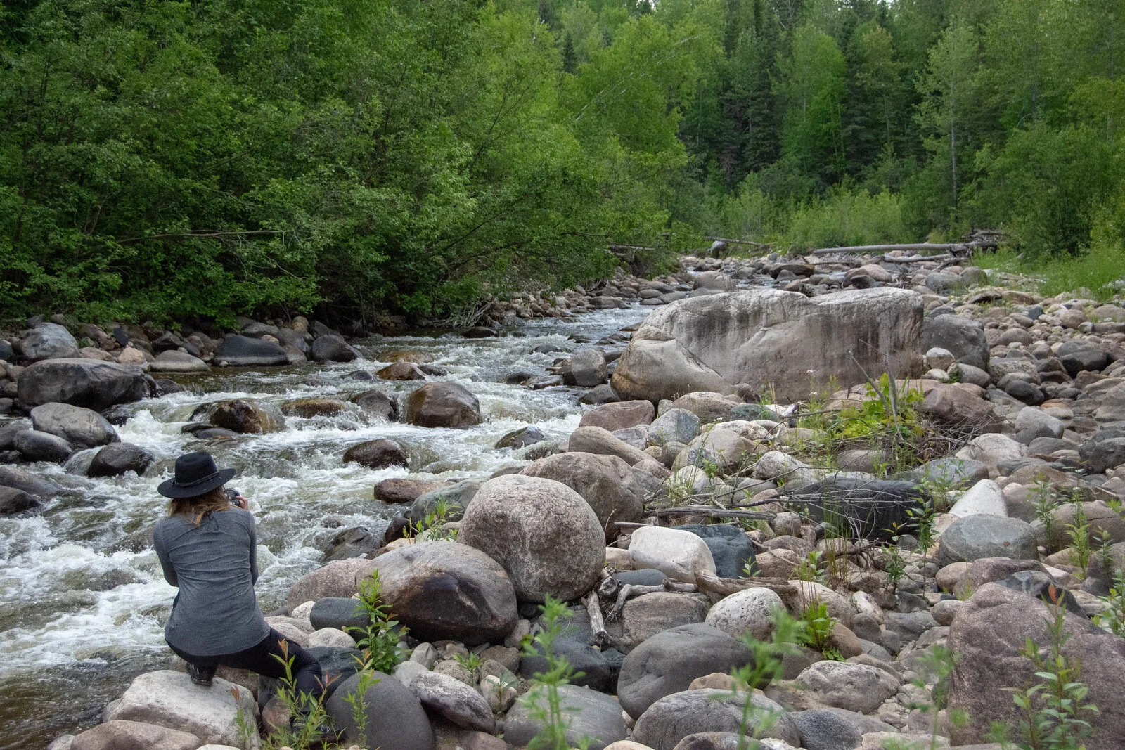
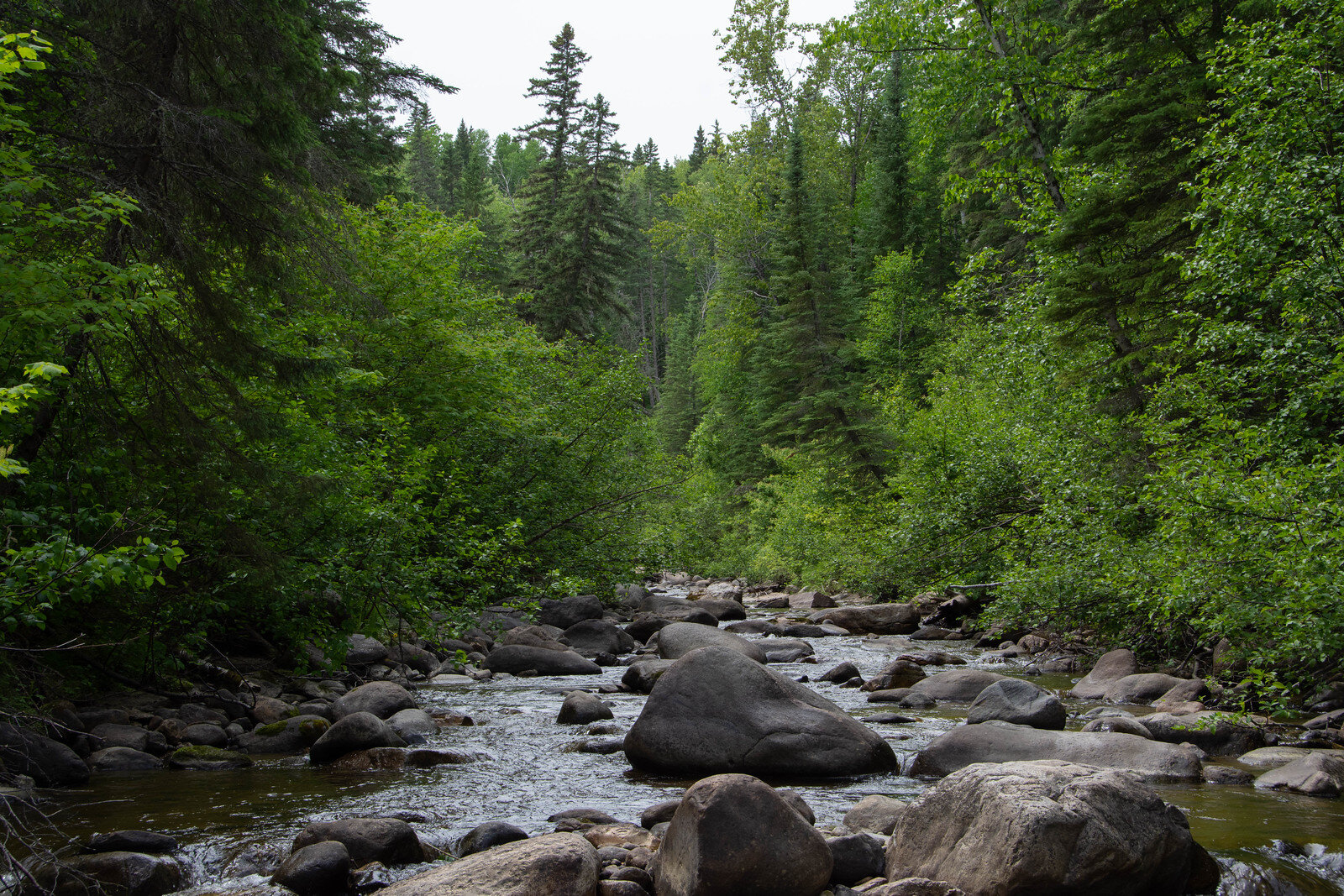
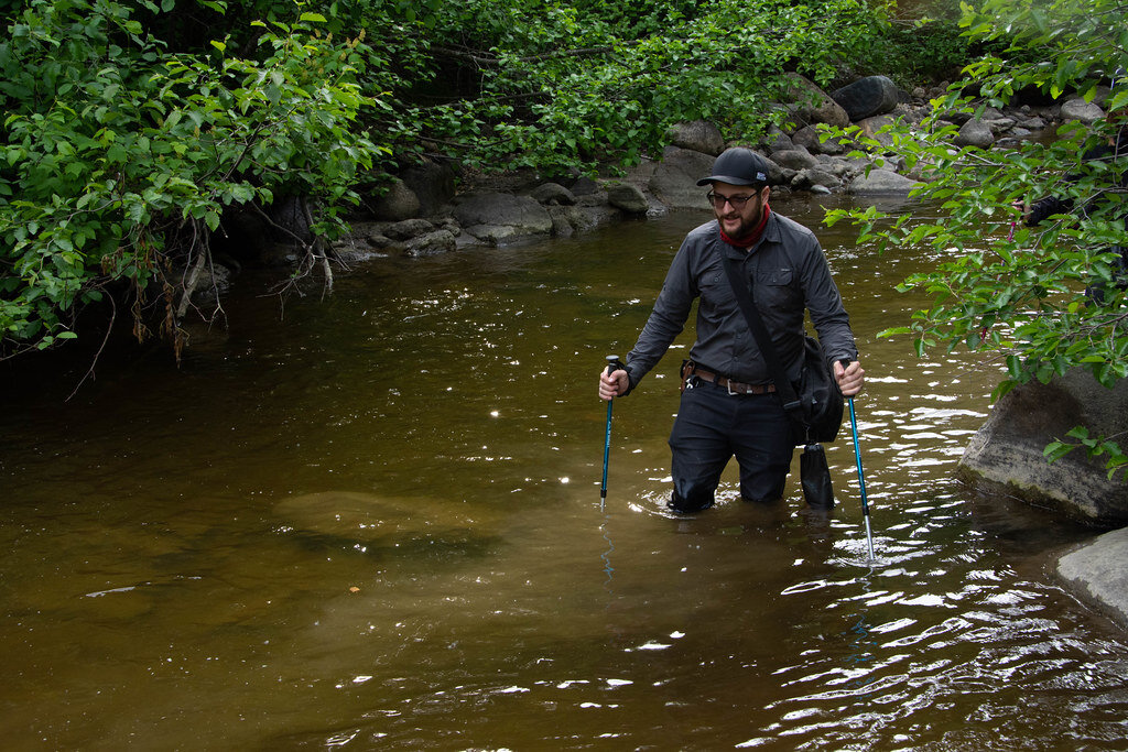
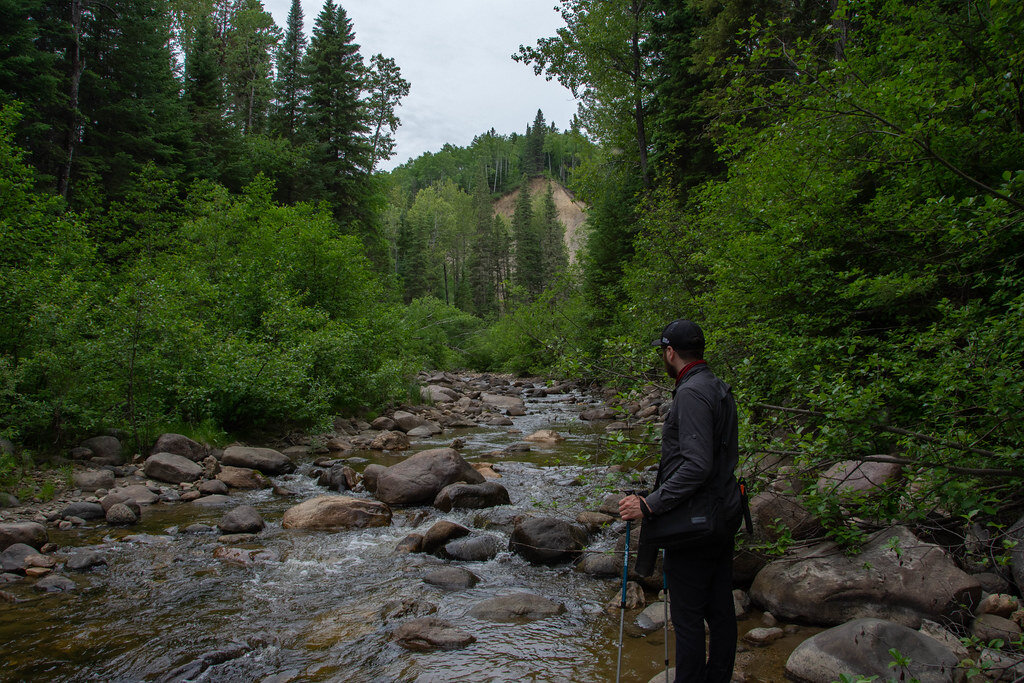
We weaved in and out of the treeline, mostly hiking through the water. We passed some of our old campsites and reflected on the learning curve of our own leave-no-trace behaviours. Thankfully there wasn’t much to scoff at.
Did we want to camp here? Sean asked, checking in.
It seemed like we had only just started hiking and the sun was still high. We decided to push onward after a short break. We took off our packs and our damp backs cooled in the slight breeze from the river.
The teeniest of threats found its way to Kendall. An angry ant (likely fearing for its life) bit her on the lip when she took a swig of water. I felt grateful we had Benadryl, brought as a mediocre sleep aid, but I continued to worry about the swelling. Kendall was in good spirit, so we carried on. It was only an ant, but I couldn’t help wondering what would happen if the reaction worsened. What if the swelling impacted her airway? What good was first aid? At least I had an emergency beacon on my GPS, I figured.
The further we trekked, the more challenging things became.
The woods – primarily young alder bushes at this point – became stranger, less inviting. The elevation became more inclined, and it was growing harder to bushwhack.
Occasionally a guttural “ooooof” would mark the moment one of us catapulted forward after getting tangled up in our normally helpful trekking poles. “The fork is just up ahead, we are nearly there.” Sean promised.
Despite an unlucky start, we had finally made it.
The fork was the farthest I had traveled along this river, while Sean had been further up the southern tributary. Tomorrow we would take the north, making our way towards an embankment Sean marked on the map.
We set up camp, alongside hundreds of ants, taking extra care when swigging scotch. We stripped off our boots and hung our soaking socks out to dry. Sean tried to comfort JP, who’d become an unwilling victim to swarms of relentless mosquitoes and flies.
After grabbing our cameras and playing with the fading light at sunset, we sat around and listened to the river roar. We noticed fireflies all around us, their twinkling bottoms dancing in the air in front of the black forest. It was a beautiful spectacle and certainly a good omen for the day to come.
The evening went long. We listened to music, mostly Elton John, and shot back some tequila.
The next morning, the tent grew hot, fast. We opened our eyes to a show of victorious ants dragging flies across the top of our tent’s mesh canopy.
Heading northwest, we eased into the hike with the calmest section we had traversed thus far. It was flat, soft and cool on the ankles.
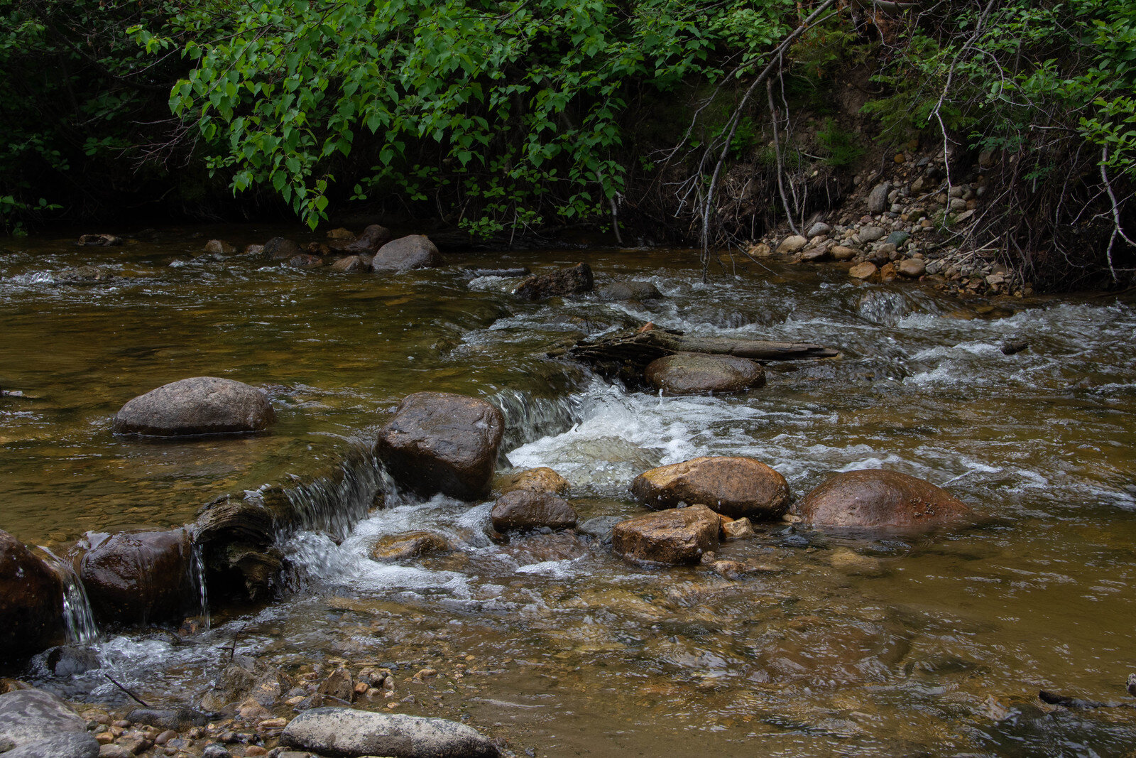
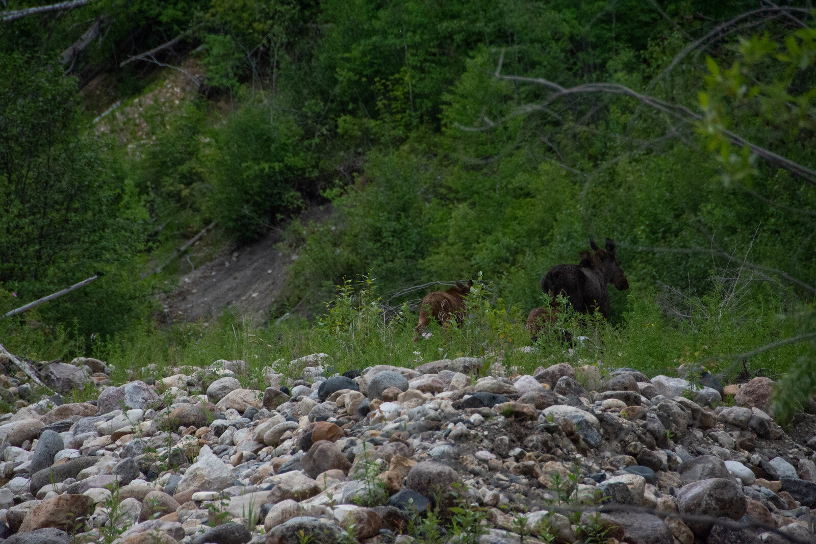
The elevation changed after the first bend in the river, which steadily rose for the rest of the hike. We had about two increasingly tough kilometres to go. The boulders grew in size, becoming more frequent. The current increased as the pools became deceivingly deep. Sean exclaimed something, and we saw glimpses of movement just ahead—a moose and her two calves, running upriver away from us.
The insects were a consistent and awful reminder that yes, this was Manitoba in June. JP looked less like a dog and more like Pig-Pen from Charlie Brown with little dots swarming around him no matter where he moved. I brought up a Radiolab episode called “Kill ‘em All” and we considered the consequences of mosquito population control.
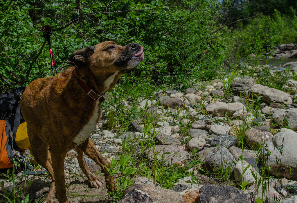
JP seemed to take the most advantage of the breaks. He would lay down, wildly rolling in the dirt in a dire attempt to rid himself of the ever-present attackers.
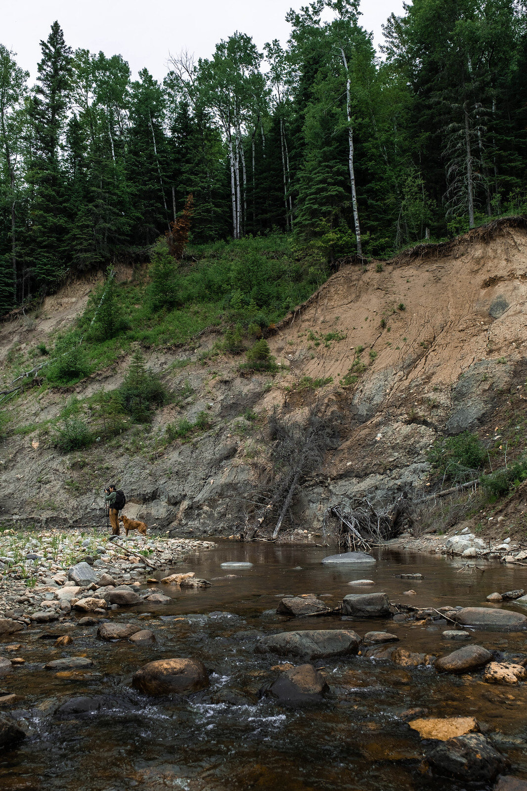
The last stretch straightened out towards the riverbank. Its sandy face stood tall in the distance.
Sean plotted out a route to the top. We ambled up behind him, as JP bounded back and forth.
The hill was unstable, mostly steep, crumbling sand and soft clay ridges leading to a high point near the cliff’s edge. I performed a graceless heave to get off the sand and onto more solid ground. At this point we looked back to see a glimpse of what was to come. Already we were above the treeline with the riverbed well below us. The last push to the top through branches was intensely steep, but, breathless I knew the summit – some 200 feet above the river – was worth it.
I was awkward, crouching low and shuffling because of my not so subtle discomfort with heights. I drew closer to Kendall who was sitting fearlessly at the edge, paused in awe. The forest stretched below, rising to the horizon far off into the distance. I took in the staggering view before remembering where I was, and crab-walking back from the edge.
We stayed silent at the top, before musing about how we’d get back down.
Sean and JP slid down the cliff face quickly. JP stuck out his front paws and slid like a kid down a playground slide, Sean seemed to hop down like a forest creature. Kendall and I slid, slower in tandem, trying to stop from rolling head first.
On the way back to camp, Kendall and I stopped for a frigid dunk in the deepest part of the river.
When we returned for dinner, I tried to get a weather check from my InReach GPS beacon. Rain was predicted for the next day. Was that still true? No matter which direction I thrust the device up into the sky, no reception. Then it occurred to me I hadn’t reactivated my subscription. Oops. It was as useless as the mediocre face-covering bug nets we brought with forced optimism and no results.
What would tomorrow look like, we considered. Somehow we had managed to accomplish both goals of the trip: camp at the forks, make it up the outcrop. We could explore the south fork or we could head home.
We agreed to sleep on it and decide when we see the sky at sunrise.
As light emerged, we snuggled to the morning bird songs before Kendall proclaimed she was dying. I didn’t know what to say as I inspected her pale back— adorned with dozens of small welts.
Ah, nature.
But spirits remained high (itchy and cursing, but high.)
Come breakfast time, it occurred to us why our packs were so incredibly light. Somehow we had forgotten a day’s worth of food. Whether by fate, or poor planning, we decided we would not be able to camp another day. At the same time, dark clouds rolled in and validated our decision to head home.
The hike out was already tinted with nostalgia as I mentally checked this trip off my bucket list. I tucked the memories away, and started to wonder when I would be back in this water again.
❖❖❖
More photos from the Steeprock River
